Geography
How Lightning Turns Sand into Hollow Glass Tubes
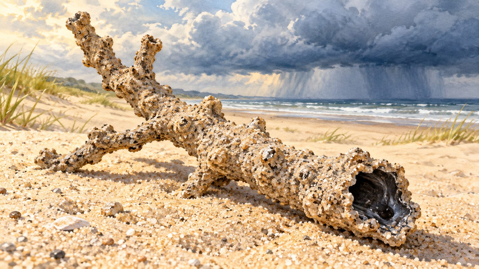
Intense heating can vaporize material along a lightning path while melting the surrounding sand into a glassy wall. The resulting fulgurite preserves a hollow trace of the event underground.
GEOGRAPHY
Intense heating can vaporize material along a lightning path while melting the surrounding sand into a glassy wall. The resulting fulgurite preserves a hollow trace of the event underground.
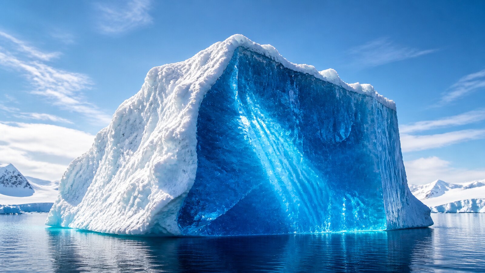
A long path through dense ice removes more red wavelengths and lets relatively blue light emerge. Fresh snow and bubbly ice return mixed light quickly, so they tend to look white instead.
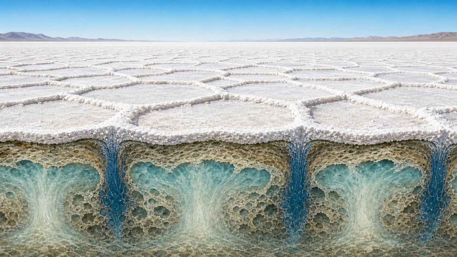
Evaporation makes near-surface brine dense enough to sink beneath polygon boundaries while less salty water rises at their centers. This subsurface convection focuses salt deposition into bright ridges.
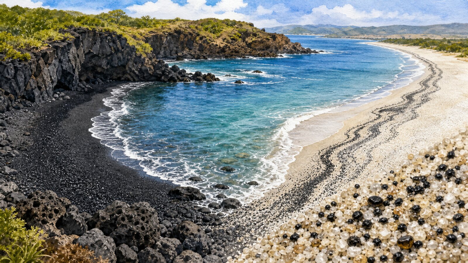
Black beaches form when basaltic lava and cliffs supply dark fragments or when waves concentrate dense minerals such as magnetite and ilmenite. Their color records both sediment source and coastal sorting.
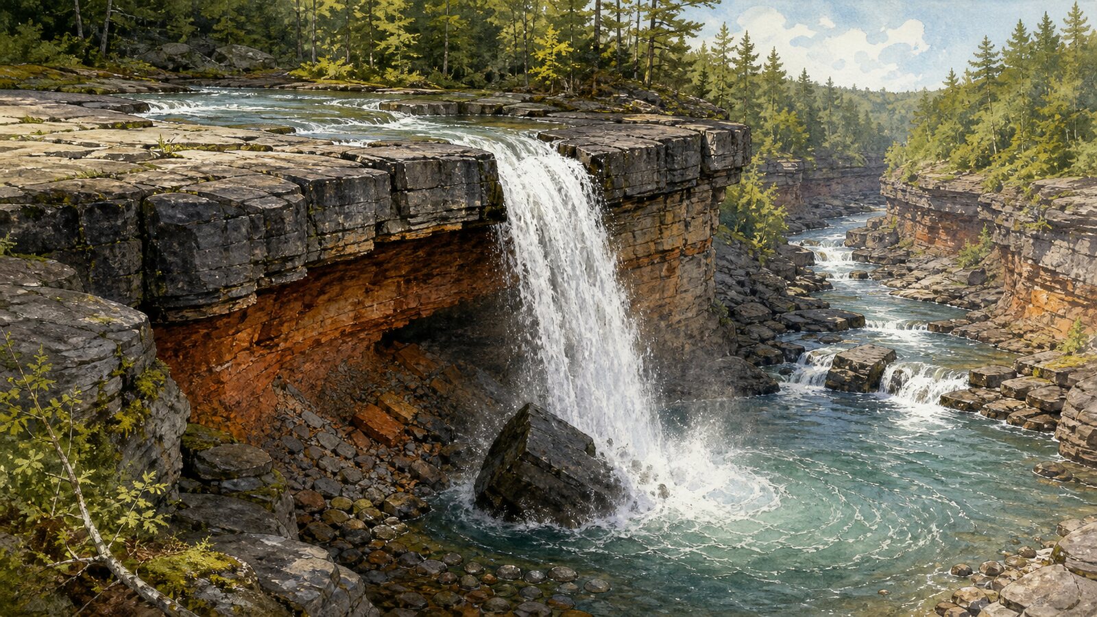
Falling water and sediment erode plunge pools and cliffs, so rock failure relocates the brink upstream. Layered-rock undercutting and sequential vertical drilling are two distinct retreat paths.
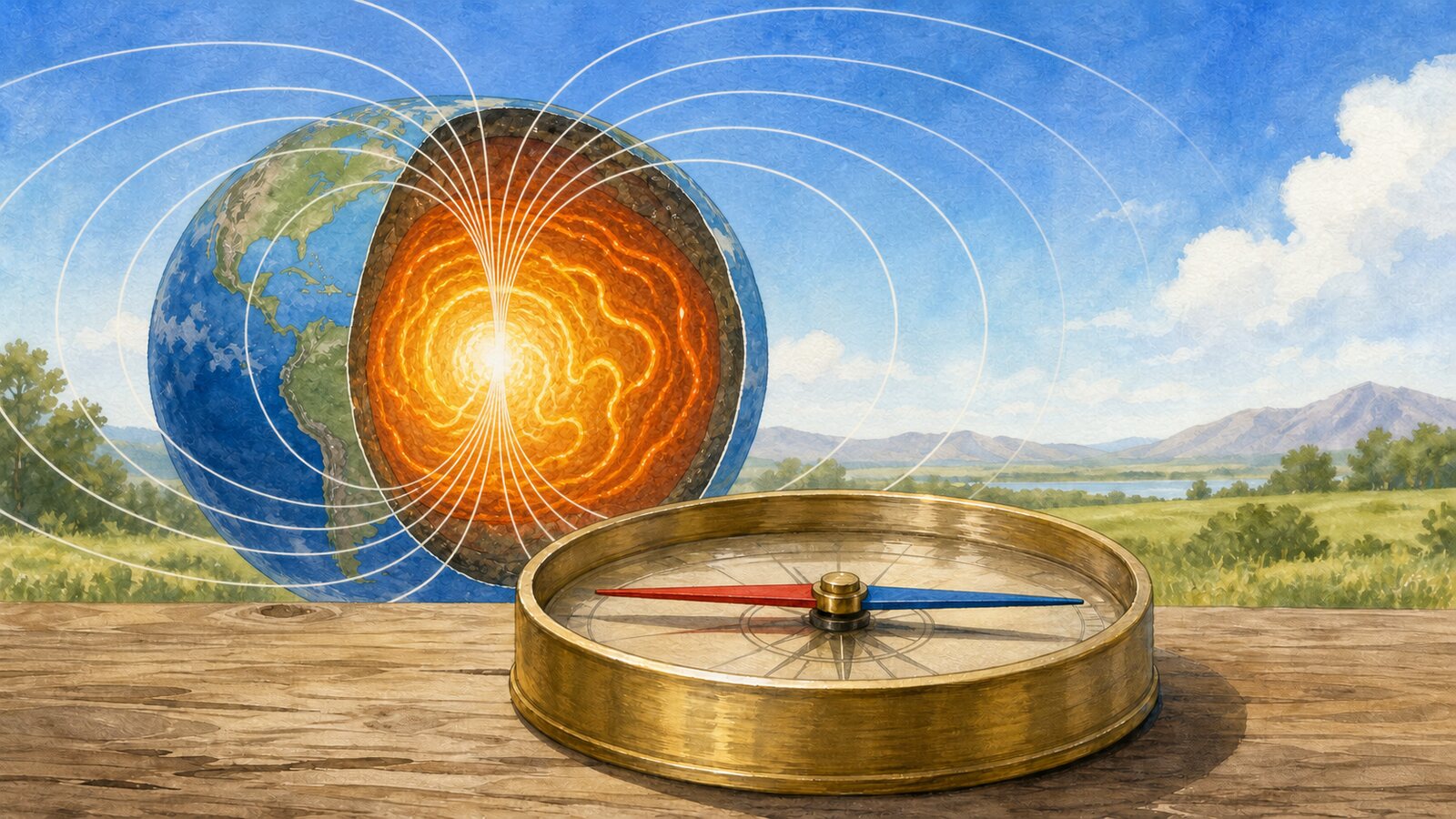
A magnetized compass needle rotates into alignment with the horizontal component of Earth's field, generated mainly by the outer-core geodynamo. It does not aim at one pole directly, so declination, dip, and local interference matter.
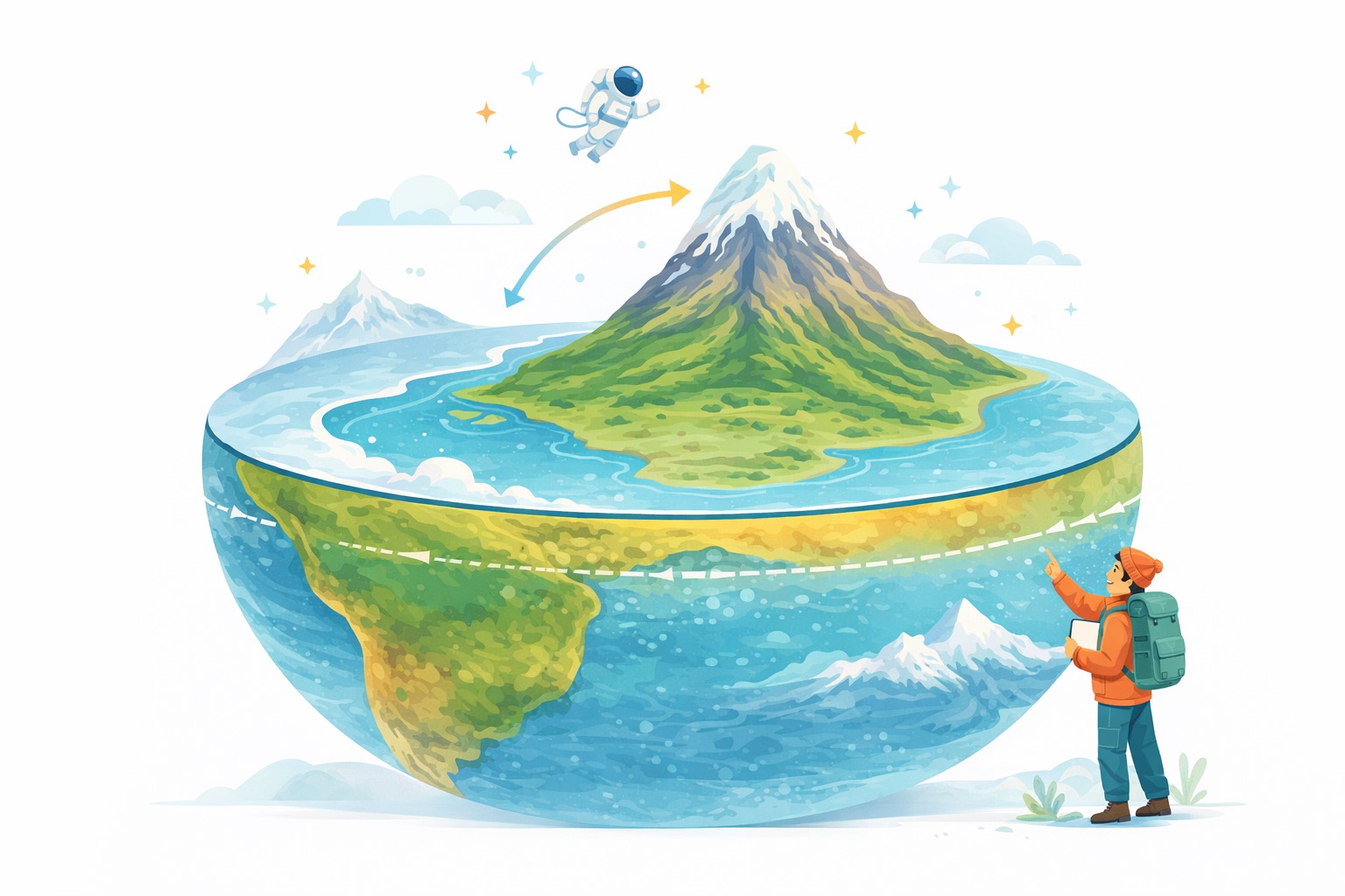
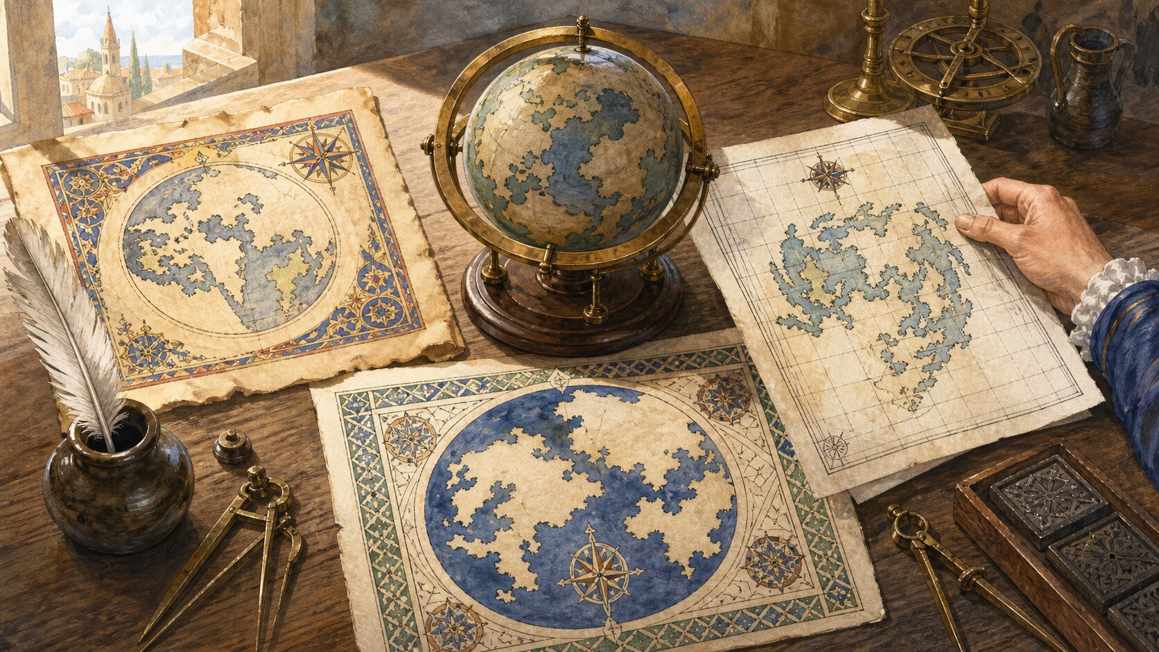
Earth has no absolute top. A north-up coordinate tradition associated with Ptolemy was reinforced by Renaissance European printing, navigation, and atlases, while east-up and south-up maps also worked coherently in other traditions.
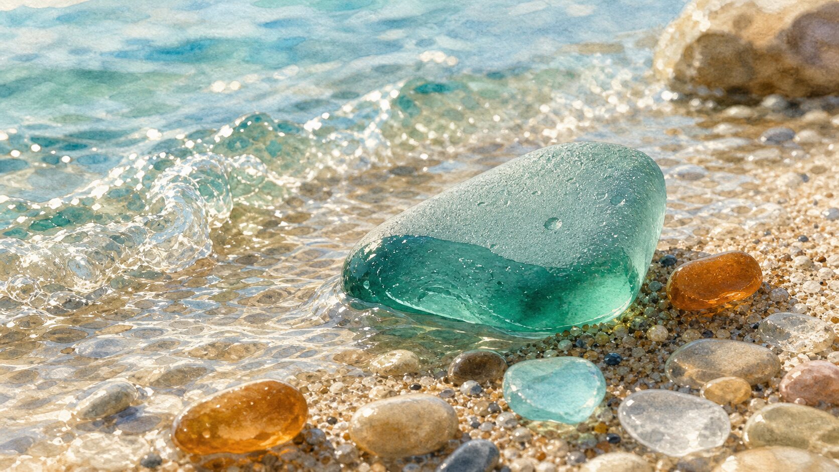
Wave impacts and sediment abrasion round broken glass, while water-driven ion exchange and dissolution pit its surface. The resulting microscopic roughness scatters light and creates a frosted appearance.
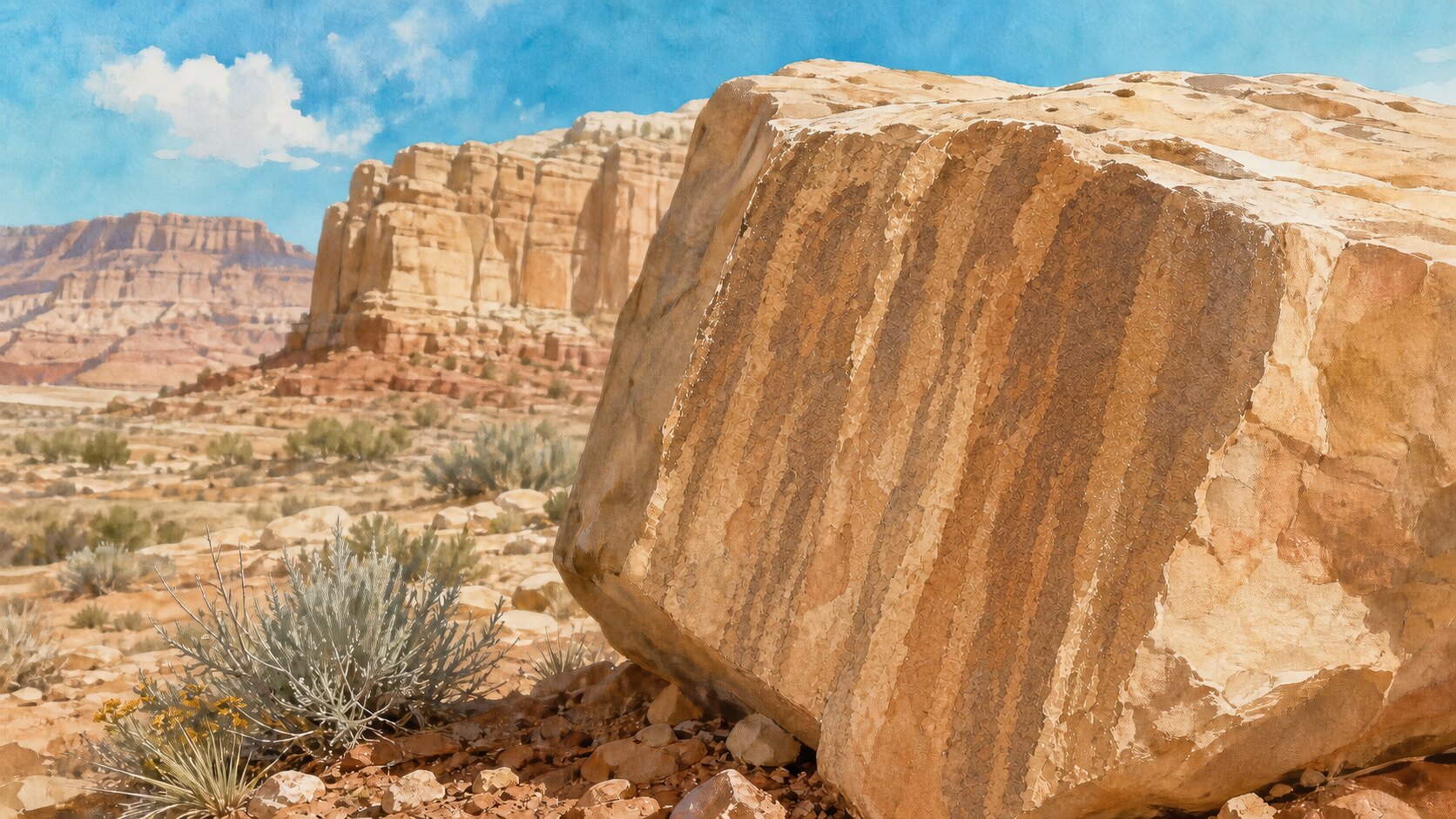
Desert varnish is an extremely thin coating of clay and iron–manganese compounds built through repeated dust deposition and rare wetting. Microbes may contribute, but the exact pathway varies by site.
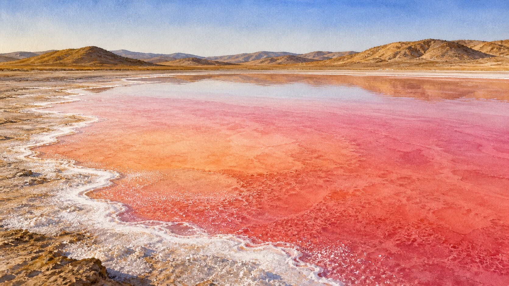
Pink color comes from pigments in salt-tolerant algae, archaea, and bacteria rather than from the salt itself. Changes in salinity, depth, light, season, and the microbial community can alter a lake's color.
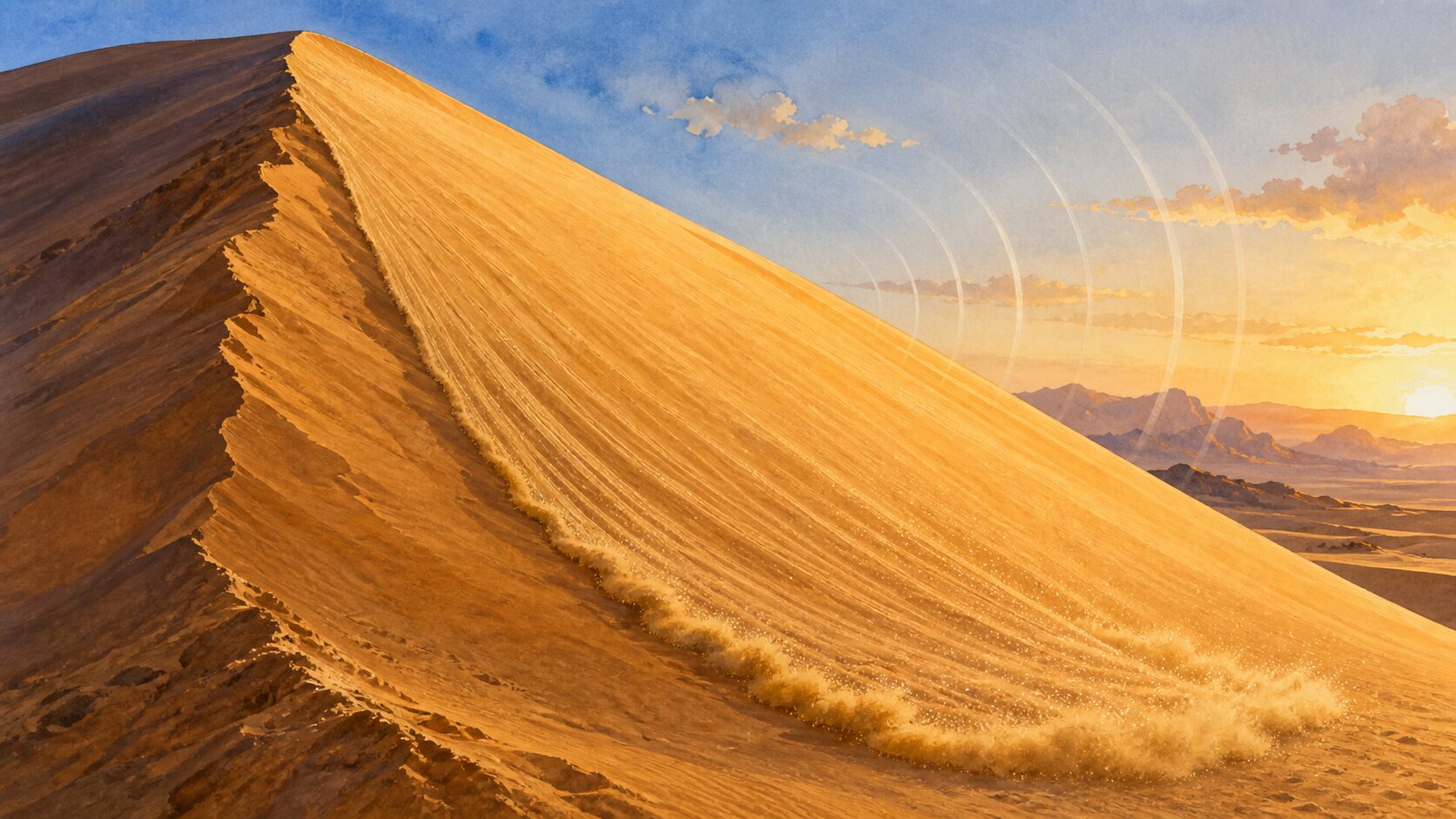
In booming dunes, a broad avalanche of very dry sand combines grain friction, synchronized motion, and dune-scale resonance to make a sustained low tone. Only dunes with suitable grains, moisture, and layering can do it.
When a river slows at a sea or lake, it deposits sediment and builds a delta. River supply, waves, tides, and coastal currents together shape and continually change it.

Slow mantle flow, density differences, and gravity all contribute to plate motion. The pull of a cold, dense oceanic plate sinking at a subduction zone is considered an important driver.

A coastline measures longer when a map follows more of its small bends. Its reported length therefore needs a map scale and boundary definition alongside the number.

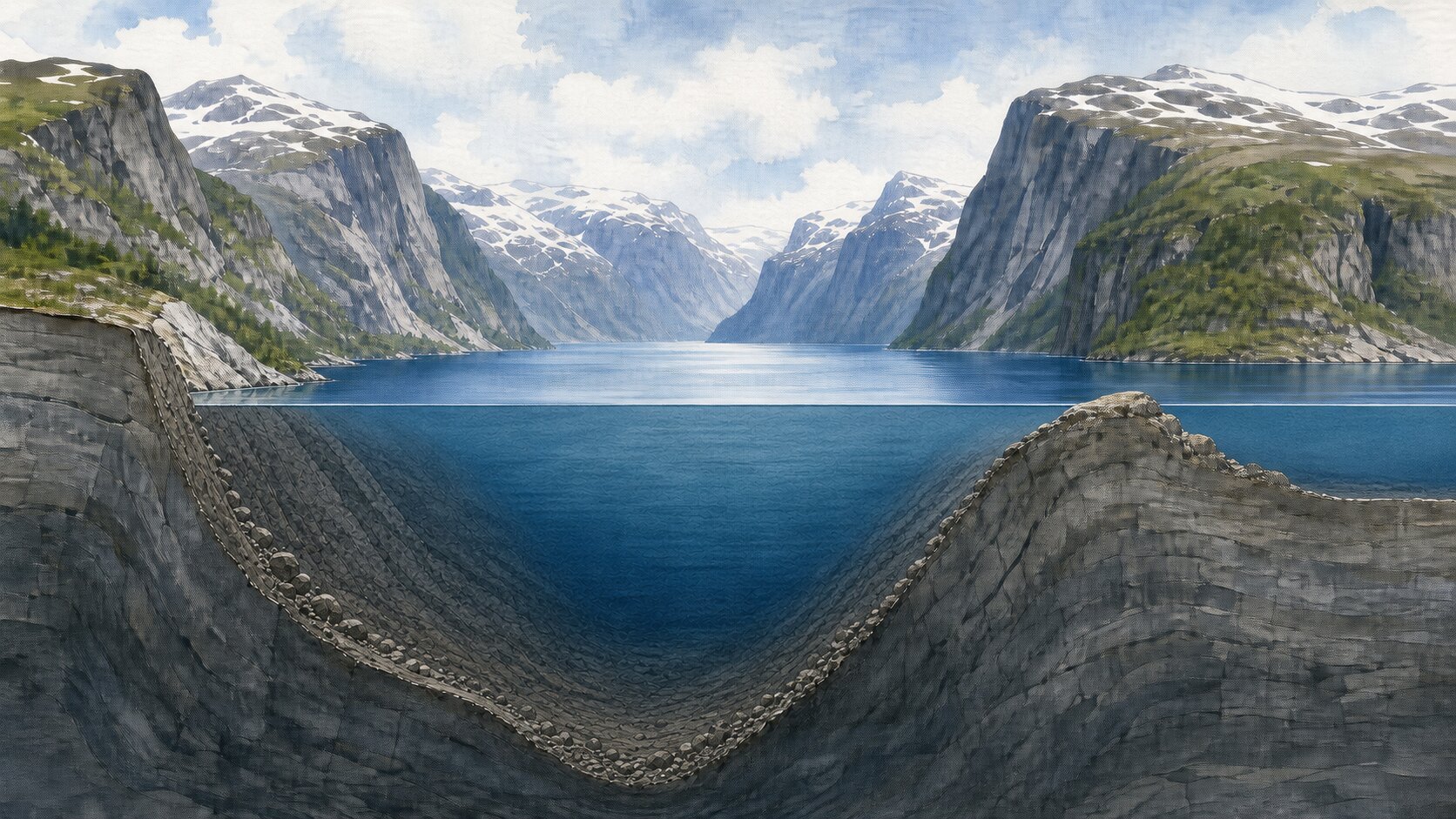
Thick glaciers eroded mountain valleys and overdeepened some reaches below sea level. After the ice retreated, seawater flooded the excavated U-shaped troughs.
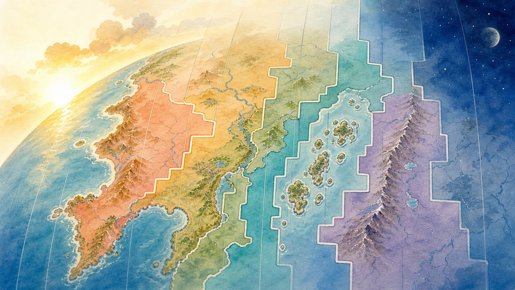
Dividing Earth into 24 gives an average width of 15 degrees, but standard time is a social system. Governments bend boundaries to keep cities, regions, commuters and trade networks together.
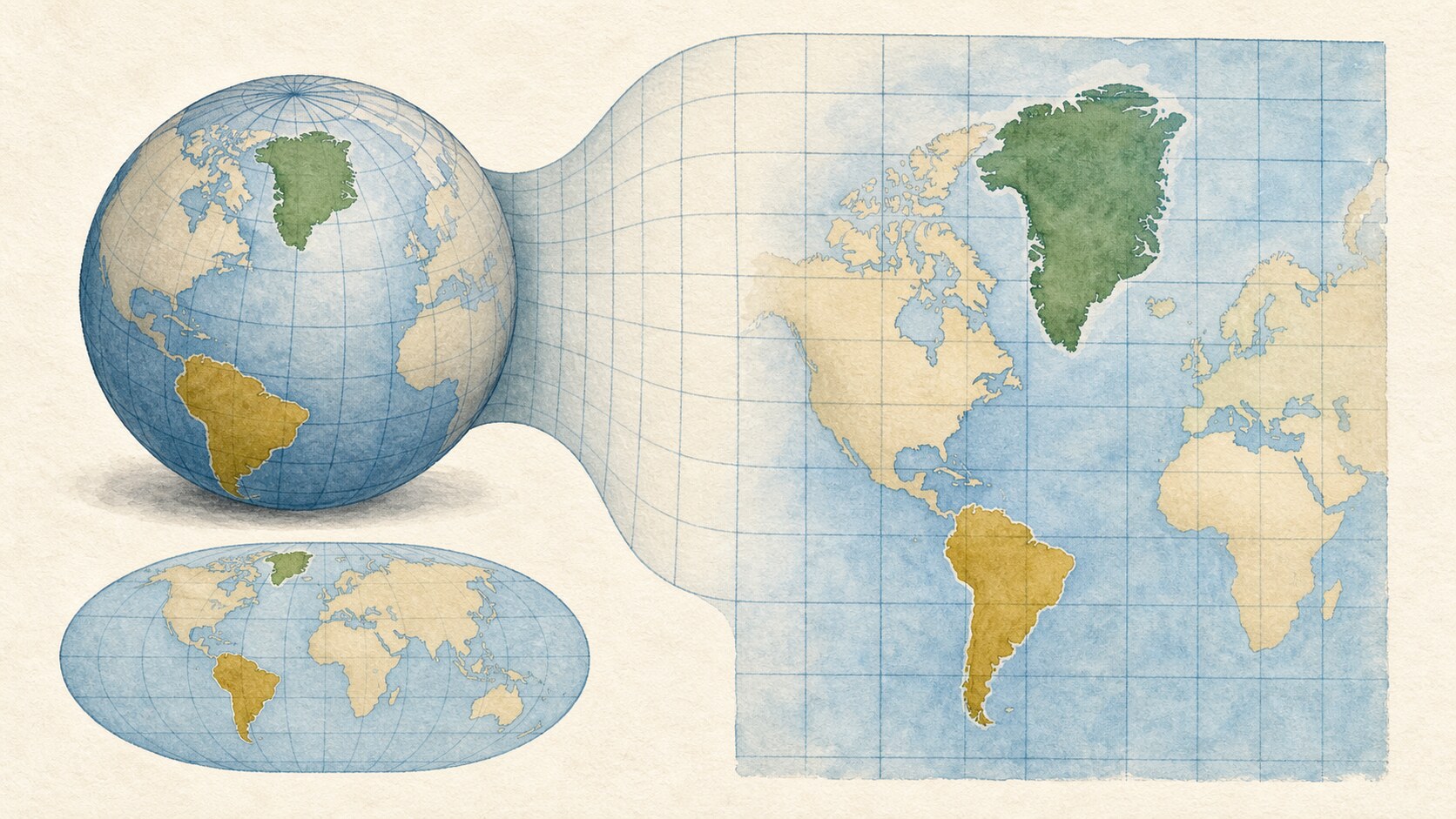
Mercator stretches both east-west and north-south scale at high latitudes to preserve angles and local shape. The tradeoff greatly exaggerates polar area.
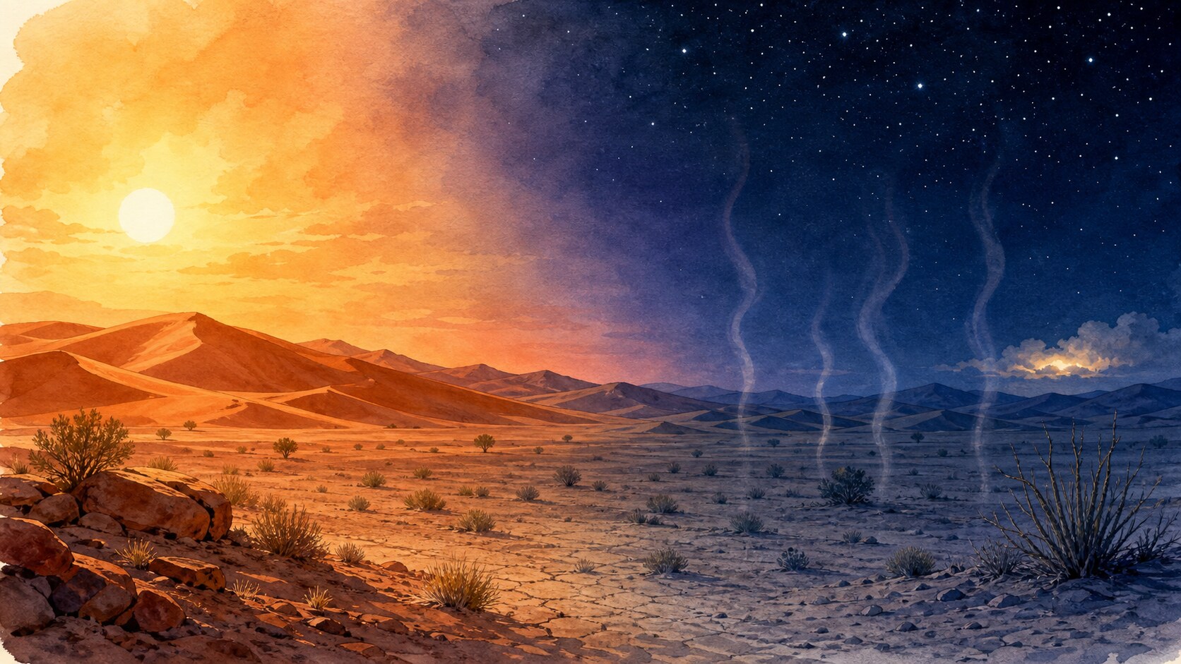
Clear dry desert air has little cloud or water vapor to return outgoing infrared energy. Ground that heats quickly by day can therefore lose heat quickly after sunset.
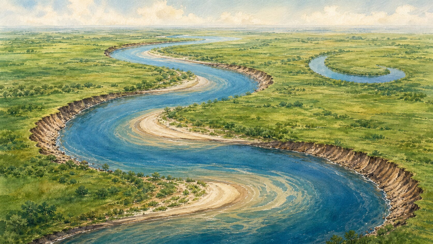
Faster outer-bend flow erodes the bank while sediment accumulates inside. Secondary circulation and repeated feedback enlarge and migrate the bend.
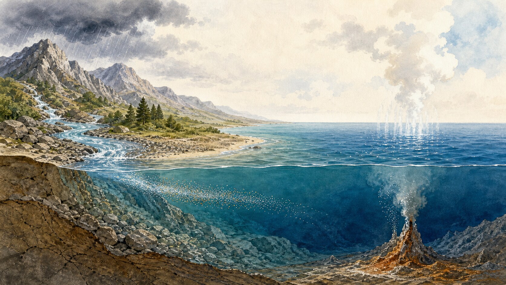
Weathering releases ions that rivers carry to the sea, while seafloor reactions exchange other elements. Evaporation removes water, but long-term salinity reflects both inputs and removals.
Everest is highest above mean sea level, but Earth's equatorial bulge places Ecuador's Chimborazo summit farther from the planet's center. The answer changes because the measurement begins from a different reference point.