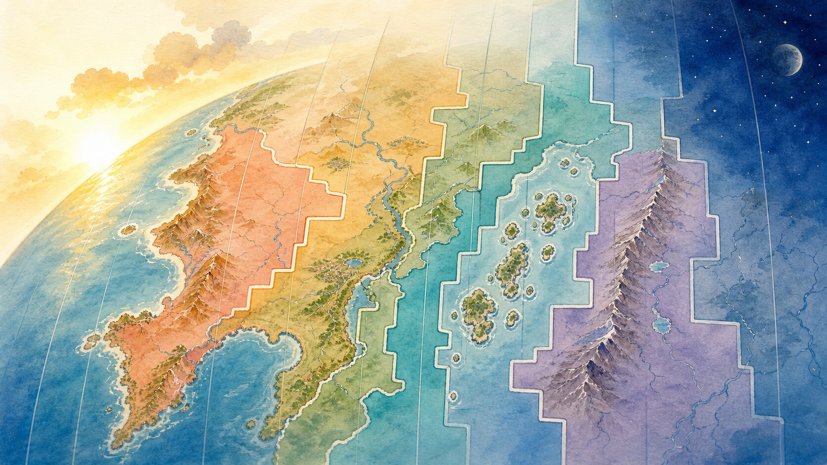
Time-zone borders zigzag because standard time is a social and governmental system, not a natural line calculated automatically from longitude. Earth's rotation and the Sun provide the framework, but actual boundaries are adjusted so cities, administrative regions, commuters and trading partners can share practical schedules.
Earth turns about 360 degrees in 24 hours, so a simple division gives an average of 15 degrees of longitude per hour. Theoretical boundaries would be evenly spaced north-south lines. Applied literally, however, such lines could split a city, state or closely connected neighboring region between two clocks. Fifteen degrees is a useful starting model, not a compulsory legal grid.
Before railways and telegraphs spread in the nineteenth century, towns could keep local solar time, placing noon near the Sun's highest point. Faster transport and communication made numerous local timetables inconvenient and risky. Railway systems adopted shared standards across broad regions, and the 1884 International Meridian Conference established the Greenwich meridian as the reference for longitude.
Modern zones are defined through decisions by countries and local authorities. Following national, state, provincial or county borders makes a boundary easier to administer and understand. Commuting, commerce, schools, broadcasting and ties to a nearby city may matter more than the closest solar time. Large countries can choose several zones or maintain one standard across a broad span.
Offsets are not always whole hours: some jurisdictions differ from Coordinated Universal Time by half an hour, while daylight-saving rules vary separately. The International Date Line also bends widely so it does not divide particular countries and island groups between two calendar dates. These choices trade a closer match to solar noon for social coordination.
A time-zone map is therefore Earth's rotation overlaid with political and everyday choices. Like other legal boundaries, zone definitions and seasonal clock rules can change. Airlines and computer systems rely on current time-zone databases rather than longitude alone because the zigzags, exceptions and policy changes are not permanent laws of nature.
EDITORIAL RESPONSIBILITY
FactosBrain Editorial Desk
The FactosBrain Editorial Desk researched and reviewed this article under our editorial policy. We assess error reports under our corrections policy.