Look a little closer
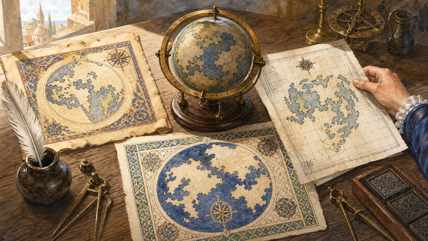
North appears at the top of most maps not because Earth has a physical top, but because a north-up coordinate tradition associated with Ptolemy was amplified by Renaissance European printing, navigation, and atlas production. East-up and south-up maps functioned normally for centuries. North-up became a powerful standard for comparing sheets quickly, but it remains a convention rather than a law of geography.
A spherical Earth has no absolute up in space. Its rotation axis defines two poles, and astronomy and surveying call one of them north, but aligning that axis with the vertical edge of a page is a separate graphic choice. Rotate a world map 180 degrees and its distances and spatial relationships do not change. Local gravity points toward Earth's center, so neither hemisphere occupies the literal top of the planet.
Historical maps also did more than locate roads and borders. A map might organize religious history, display a ruler's domain, guide a pilgrimage, or support a voyage. Makers placed important destinations, origins, or directions at the center or upper edge according to that purpose. Page shape, writing direction, and whether a map was spread on a table or hung vertically also mattered. Orientation makes sense only in relation to a map's intended use and viewing practice.
Many medieval European mappae mundi put east at the top. A fifteenth-century world map now held by the Library of Congress, for example, places Jerusalem at the center and east along the upper edge. The arrangement could elevate the direction of sunrise and the biblical paradise rather than reproduce a navigator's grid. The English word orientation ultimately reflects Latin oriens, associated with east and rising. Asia's position at the top did not necessarily signal ignorance of Earth's poles; the page was structured around another priority.
South-up arrangements were common in important strands of Islamic cartography. Al-Idrisi's geographical work, completed in 1154 for Roger II of Sicily, assembled reports and earlier learning into seventy sectional maps. Combined into a world map, the sheets place south at the top. The Library of Congress notes that this seems upside down only to a viewer trained on the modern convention. Within its own system it is coherent evidence that cartographic accuracy and page orientation are independent questions.
North-up has ancient roots as well. In second-century Alexandria, Ptolemy described latitude, longitude, and methods for projecting a globe onto a plane; the mapping tradition tied to his Geography put north above and east to the right. The survival of particular ancient maps is complicated, but his text and reconstructed maps gained extraordinary influence when copied and printed in fifteenth-century Europe. The Library of Congress describes the Geographia as the first and most popular cartographic publication produced with movable type in the fifteenth and early sixteenth centuries.
Compasses and navigation made north-up convenient without mechanically dictating it. A magnetic needle supplies a north–south axis, but it does not tell a printer which end of the page deserves the top. Northern European navigators also used the pole star to estimate latitude, and north-referenced bearings meshed readily with Ptolemaic grids and nautical practice. North-up works such as Mercator's 1569 world map and Ortelius's uniform 1570 atlas were then copied and circulated widely. Mercator did not invent north-up; he worked inside a convention already available.
Standardization creates its own momentum. If every sheet chooses a different top, readers must inspect its compass rose and mentally rotate the geography before comparing it with another. Shared orientation lets regional maps, survey sheets, and atlas pages connect with less effort. As schools, navies, governments, and publishers accumulated north-up material, following the same layout became cheaper and more useful for the next maker. European imperial reach and the global map trade spread that convention, but they gave northern placement no scientific meaning of superiority.
Many maps still choose another top when a task benefits. Car navigation can rotate to keep the direction of travel ahead; building directories may align with the viewer's facing direction; route, river, aviation, and marine displays can prioritize a path or operation. South-up world maps disrupt a familiar visual hierarchy without changing coordinates. The need for a north arrow on a rotated map exposes the underlying choice: “up” is not a location handed down by the planet, but a page direction that makers and readers agree to use.
EDITORIAL RESPONSIBILITY
FactosBrain Editorial Desk
The FactosBrain Editorial Desk researched and reviewed this article under our editorial policy. We assess error reports under our corrections policy.