Look a little closer
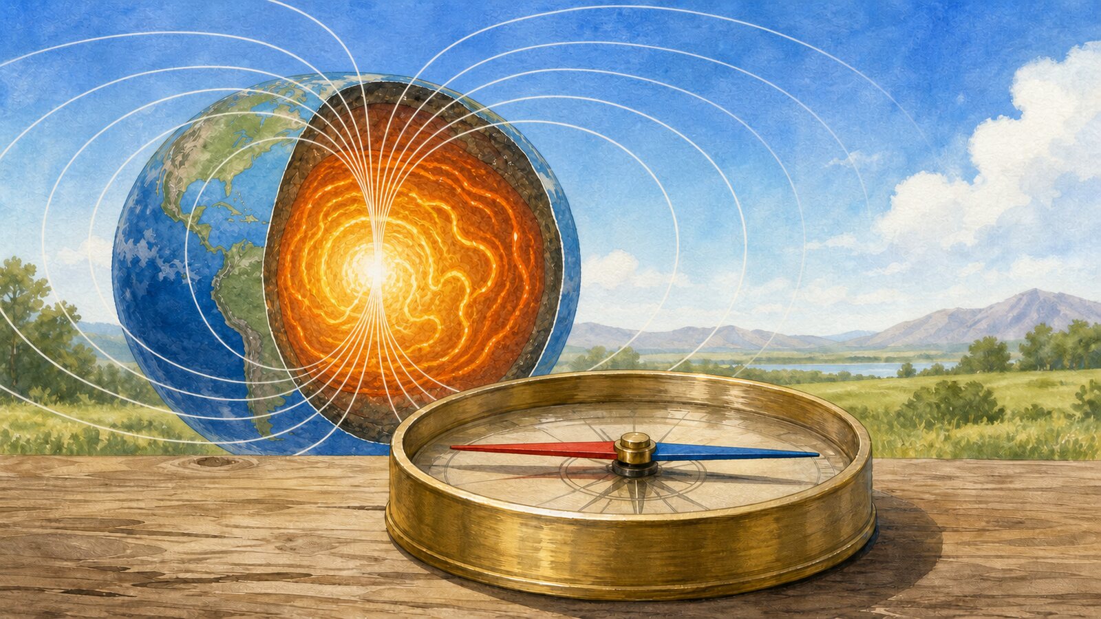
A compass needle points roughly north because it is a small magnet free to rotate into alignment with Earth's magnetic field at that location. It is not pulled along a straight line toward one dot in the Arctic. The field exerts a torque on the needle's two poles, turning it until the magnet lies along the local field's horizontal direction.
A conventional needle is a light bar magnet balanced on a low-friction pivot. When its magnetic axis sits at an angle to an external field, the forces acting on its two ends form a couple that rotates it. Once needle and field are parallel, that turning effect is minimized. Oscillation, friction, and damping then let the needle settle. The end that seeks the northern direction is called the north-seeking pole; the name describes how it behaves in Earth's present field.
Most of that planetary field does not come from a permanent bar magnet hidden inside Earth. The electrically conducting, iron-rich fluid of the outer core begins about 2,900 kilometers below the surface. Heat and compositional buoyancy drive convection, while rotation organizes the moving fluid. Motion through an existing magnetic field induces electrical currents, and those currents generate more magnetic field. This self-sustaining process, the geodynamo, acts more like a vast natural generator than a solid refrigerator magnet.
From far away, the main field resembles that of a tilted dipole, but the resemblance is only approximate. Complicated core flow supplies nondipole features, magnetized crust adds local structure, and electrical currents above Earth contribute shorter-term changes. A flat compass therefore does not aim precisely at the geographic North Pole. NOAA emphasizes that it follows the horizontal component of the field where the instrument sits, not a unique magnetic-pole target.
The angle between geographic north and that local magnetic direction is magnetic declination. It can be east or west, varies from one region to another, and changes as the core field evolves. Surveyors and navigators use a dated magnetic model or chart to convert a magnetic bearing into a true bearing. A correction printed on an old map is not timeless: even if the landmark has not moved, the magnetic direction may have shifted since the map was made.
The field also tilts vertically. Across much of the Northern Hemisphere it points downward as it heads north; in the Southern Hemisphere its vertical sense is reversed. That angle is inclination, or dip. An ordinary compass constrains the needle to turn mostly in a horizontal plane, so manufacturers may balance one end to keep it from scraping the case. A needle balanced for one magnetic zone can drag when taken far into the other hemisphere, while global compasses use designs that tolerate a wider range of dip.
Near a magnetic dip pole, a horizontal compass becomes less useful rather than more decisive. The field there is nearly vertical, leaving very little horizontal component to define an azimuth. Small disturbances can then swing the apparent bearing greatly. The World Magnetic Model designates caution and blackout zones around the magnetic poles for this reason. Closeness to the pole does not guarantee a stronger, cleaner horizontal north indication.
Nearby objects can overwhelm the subtle direction being measured. A phone magnet, loudspeaker, steel table, vehicle body, electric current, or strongly magnetic rock can distort the local field. A smartphone's digital compass uses multi-axis magnetometers and can be affected by a magnetic case or nearby metal, which is why calibration may be requested. Practical navigation keeps the instrument level and away from interference, applies declination, and checks the result against terrain and other independent information.
Compass north is therefore not an immutable arrow built into space. It is the horizontal trace of a changing field generated mainly by moving metal deep inside a rotating planet. Core flow sustains the field, the field twists a magnetized needle, and the needle settles along a direction that includes local declination and dip. The device succeeds not because it senses the geographic pole directly, but because it turns a planet-scale invisible field into a readable orientation in the palm of a hand.
EDITORIAL RESPONSIBILITY
FactosBrain Editorial Desk
The FactosBrain Editorial Desk researched and reviewed this article under our editorial policy. We assess error reports under our corrections policy.